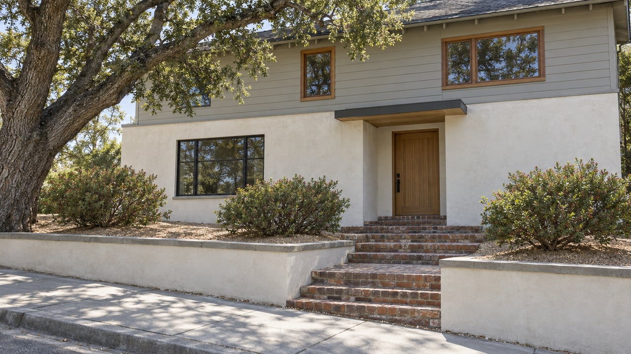
El Cerrito Redrew Its Fire Hazard Line in 2025. The Paperwork Moved. The Risk Didn't.
October 1, 2026
October 1, 2026
"Just because you've been taken out of the Very High Fire Hazard Severity Zone does not mean you're safe from wildfire." That's El Cerrito-Kensington Fire Chief Eric Saylors, talking about a new CalFire map that pulled 765 acres out of the city's Very High Fire Hazard Severity Zone in 2025, including the Hillside Natural Area itself. His caution is worth sitting with if you own a home east of San Pablo Avenue, because the line on that map isn't really a statement about danger. It's a legal switch. Depending on which side of it your parcel falls, a specific state-mandated inspection and disclosure step either has to happen before you close escrow, or it doesn't.
For most of El Cerrito's flatland streets, this is background noise. For the hillside neighborhoods climbing toward Moeser Lane and Arlington Boulevard, it just became something to check before listing.
California's AB 38 has required sellers of homes in a designated High or Very High Fire Hazard Severity Zone to document defensible space compliance since the rule took effect for real estate transactions on July 1, 2021. El Cerrito built its own version of that framework in 2025, when the City Council adopted an ordinance formalizing exactly how it works locally. If your property sits in a High or Very High zone at the time you sell, you request a defensible space and home hardening inspection from the El Cerrito Fire Department and hand buyers a disclosure report. If the home passes, the city issues a certificate of compliance, which is the document buyers and their insurance agents actually want to see. The same 2025 ordinance also adopted the state's Zone Zero standard, which calls for clearing combustible material within five feet of a home in the Very High zone.
None of that is optional once your address falls inside the boundary. It's a step in escrow, not a suggestion.
Before 2025, El Cerrito's Very High Fire Hazard Severity Zone covered 1,094 acres, with a boundary that ran along Colusa Avenue, Avis Drive, Navellier Street, Ganges Avenue, and Carquinez Avenue toward the Richmond border. The map CalFire released in draft form in February 2025 moved that boundary up the hill, close to Arlington Boulevard, and took the Hillside Natural Area out of the zone entirely.
A handful of streets below Arlington are still inside the new line: Havens Place, along with sections of Contra Costa Drive, Betty Lane, Brewster Drive, Buckingham Drive, Devonshire Drive, and Alta Vista Drive. Everyone else in the old zone is now, on paper, outside it.
Chief Saylors was careful to note that CalFire didn't offer a specific reason tied to anything El Cerrito did or didn't do on the ground. Fire Hazard Severity Zone maps are recalculated periodically using updated modeling on vegetation, terrain, flame length, and proximity to wildland, not a report card on any one property's upkeep. A house that moved outside the zone in 2025 didn't get safer between one winter and the next. The model just drew its line in a new place.
This is the distinction that actually matters at the negotiating table. CalFire's own guidance describes Fire Hazard Severity Zone maps as a measure of hazard, meaning the physical likelihood a fire could occur in an area over a 30 to 50 year horizon, without factoring in whether a given home has cleared brush, installed ember-resistant vents, or done anything else to reduce its actual risk. Risk, in the state's own framing, is a separate calculation that does account for those mitigations.
The state has also issued a consumer alert making a related point: CalFire's hazard maps aren't designed to set insurance rates or availability on their own. Carriers build their own wildfire risk models, and those models don't necessarily move in step with a municipal boundary redraw. A home that exits El Cerrito's Very High zone loses its point-of-sale inspection requirement. It doesn't automatically become easier or cheaper to insure, and a home one block over that stayed inside the line hasn't necessarily gotten more dangerous to live in. The paperwork trigger and the underwriting reality are two different systems, and the 2025 remap pulled them apart for a meaningful stretch of hillside El Cerrito.
If your home sits anywhere near that old Colusa, Avis, Navellier, Ganges, or Carquinez line, don't assume last year's compliance checklist still applies. Confirm your specific address against the current zone before you build a listing timeline, since the difference determines whether a fire department inspection and disclosure report belong in your escrow packet at all. The city keeps its current hazard map posted, and CalFire's statewide viewer lets you search any address directly.
If your street is one of the ones that stayed inside the new boundary, budget the time for the inspection request and the Zone Zero clearance work now rather than during a 30-day escrow. And regardless of which side of the line you're on, it's worth remembering that hillside El Cerrito already carries its own layer of paperwork beyond fire compliance. Retaining walls over a certain height require a permit and often an engineer's soils calculations through the city's Building Division, a separate process from the fire disclosure but one that hits the same streets for the same reason: steep lots and older construction generate more compliance steps than flat ones, no matter which map is currently in effect.
Does moving outside the Very High zone change anything for a buyer? It removes the seller's obligation to provide the fire department's disclosure report and compliance certificate at closing. It says nothing about the home's actual exposure to wildfire, which is the point Chief Saylors was making.
What if my street is split, with part of it inside the new line and part outside? That's the situation on streets like Contra Costa Drive and Alta Vista Drive, where only sections remain in the Very High zone. The only way to know for certain is to check the specific parcel, not the street name.
Hillside listings in El Cerrito already ask a seller to think in layers, from soils reports to fire compliance to how a buyer's lender reads all of it. If you're weighing when to list a hillside property here, Salt & Pine Real Estate can walk through what your specific address requires before the paperwork becomes a closing-week surprise.
Stay up to date on the latest real estate trends.


Let us guide you through every step of your real estate journey.